Knowledge Base & Support
TOPICS
Export Data
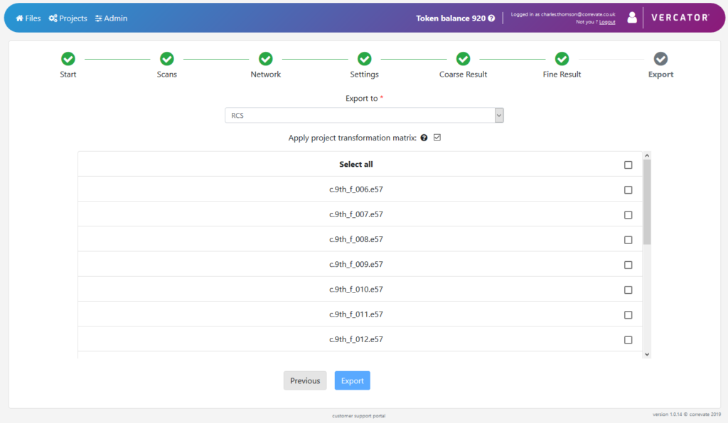
Once you are happy with the registration result, it can be exported into one of our supported formats. If survey coordinates have been added then they can also have that global transformation applied by selecting the Apply project transformation matrix setting.
The export formats supported are: xyz, ply, pts, e57, las, laz, Autodesk rcs
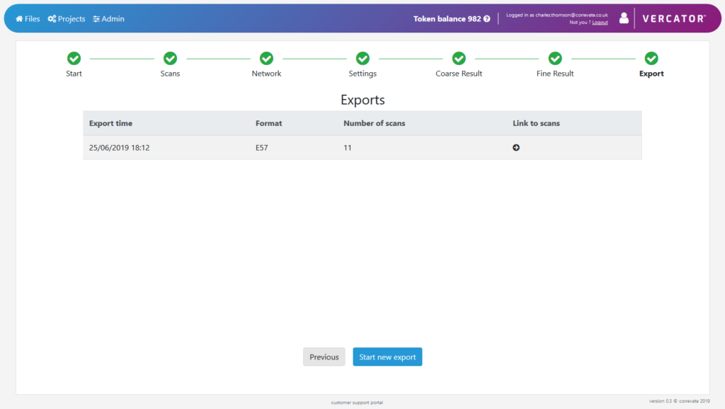
This will queue a job to run the export. Once finished, a screen with a link to the data in the file store is created. If conversion to another format is needed this can also be setup form here also.