

Knowledge Base & Support
TOPICS
Highways Classification Model
Description
This classification model finds common highway objects required for engineering and asset management purposes, as well as transient objects for data cleanup. The model is best optimised for mobile mapping scans of roads.
Optimal Scene
Highways or large roads
Optimal Scanner Type
Mobile laser scan data
Optimal Average Point Spacing
40 mm or closer
Current Model Name
outdoor_roads_v2
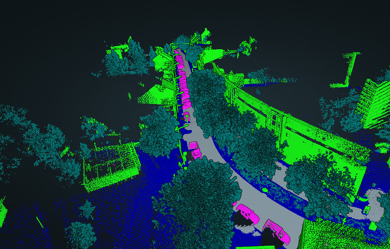
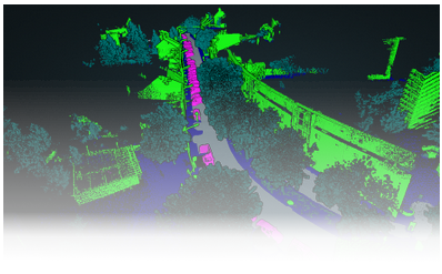
Examples
Class List
| Class Name | LAS/Z code |
|---|---|
| unclassified | 1 |
| ground | 2 |
| vegetation | 5 |
| road_surface | 11 |
| man_made_objects | 64 |
| transient_objects | 65 |